

| Collection Areas |
| Browse All Collections, A-Z |
AERIAL ATLASES
These oversize altas books contain vertical aerial photography of Los Angeles County and some surrounding counties. Most aerial atlases are black & white and at a scale approximately 1:14,000. More Aerial Atlases
AERIAL PHOTOGRAPH COLLECTIONS
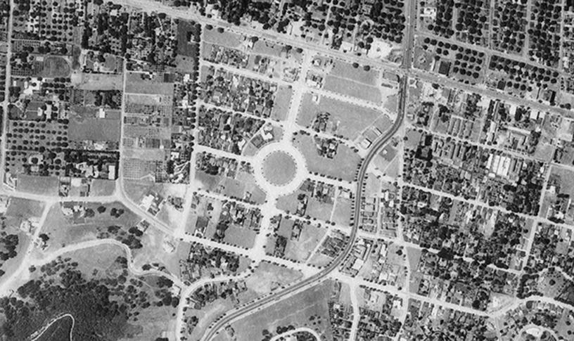
Holdings include more than 10,000 historical aerial photographs of Los Angeles County and other California counties. More Aerial Photographs
- CalTrans Air Photo Collection
- Fairchild Air Photo Collection
- I. K. Curtis Air Photo Collection
- Marschner Air Photo Collection
- Metrex Air Photo Collection
- Spence Oblique Air Photo Collection
- Whitehurse Oblique Air Photo Collection
ARMY MAP SERVICE COLLECTION (AMS)
The Map Collection holds AMS maps (AMS/DMA/NIMA/NGA) from the 1940s to the 1980s. AMS maps include military topographic maps and field-captured maps from World War II. More About AMS Maps
AUTOMOBILE ASSOCIATION MAPS (1910s-2000s)
Extensive map collections from automible associations in the United States, including the American Automobile Association (AAA), the Automobile Club of Southern California (ACSC), the National Automobile Club (NAC), as well as road and touring maps from other countries. Please see Map Collection staff to locate and view domestic and international holdings.
BOWMAN (ISAIAH) ARCHIVAL MAP COLLECTION
A collection of maps created by Isaiah Bowman's geographic and mapping work with the post-WWI Versailles treaty.
BRAILLE MAPS & ATLASES
A small collection of reference tactile braille maps. Braille map holdings include world maps, U.S. maps, and maps of California. Inquire at the Map Collection service desk for access to these materials.
BUREAU OF LAND MANAGEMENT (BLM) MAPS
The Map Collection holds a large number of maps producted by the Bureau of Land Management (BLM), including maps of public lands, wilderness areas, and public trails. The 30x60-minute series of Surface / Minerals Management Status maps show federal lands ownership and classification in the western United States. This series of medium-scale, highly-detailed maps show public and private land usage and many physical and cultural features of the western states with topography, elevation contours, roads, man-made structures, hydrological features, and township/rand designations. More BLM Maps
CALIFORNIA DESERT CONSERVATION AREA (CDCA) MAPS
The California Desert Conservation Area (CDCA) was designated by Congress in 1976. The CDCA covers 25 million acres of southern California desert land that includes geologically, archaeologically, recreational, and environmentally diverse landscapes. Map series that cover the CDCA include the Desert Access Guides, California Desert Vehicle Program & Motorized Vehicle Access maps, among others.
CALTRANS AIR PHOTO COLLECTION (1960s-80s)
A collection of aerial photos from the California Department of Transportation (CalTrans), including aerial photographs of various highways and freeways throughout California.
CASPI (E.) ARCHIVAL MAP COLLECTION
A collection of rare and historical sheet maps of the United States, Latin America, and Europe collected and donated by E. Caspi.
CHARTS (AERO/NAUTICAL)
Holdings of nautical charts include materials from the National Oceanic and Atmospheric Administration (NOAA) and the National Geospatial-Intelligence Agency (NGA). NOAA nautical charts cover areas around the United States and NGA nautical charts cover international waters from other regions and agencies. Aeronautical charts include Joint Operations Graphics, among others. More Charts
DIBBLEE GEOLOGIC MAPS
Thomas Wilson Dibblee, Jr. was a prolific field geologist who conducted geologic mapping of large portions of the state of California, establishing the "Dibblee map" as the gold standard for California geologic maps. This series of more than 400 geologic maps covers much of southern, central, and coastal California.
GOVERNMENT DOCUMENTS MAP COLLECTION
U.S. government map holdings include maps from various agencies such as the USGS, BLM, NPS, among others. More Government Maps:
- Army Map Service (AMS)
- Bureau of Land Management (BLM) Maps
- National Park Service Maps
- USGS Topographic Map Collection
- USGS Geologic Atlas of the United States
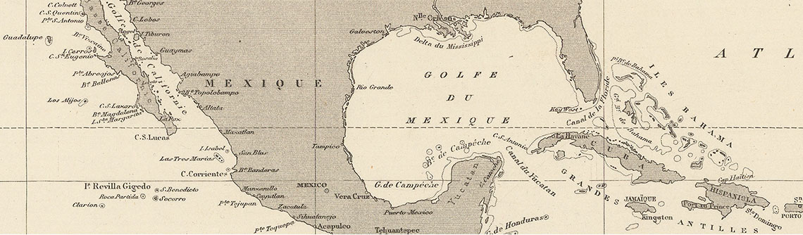
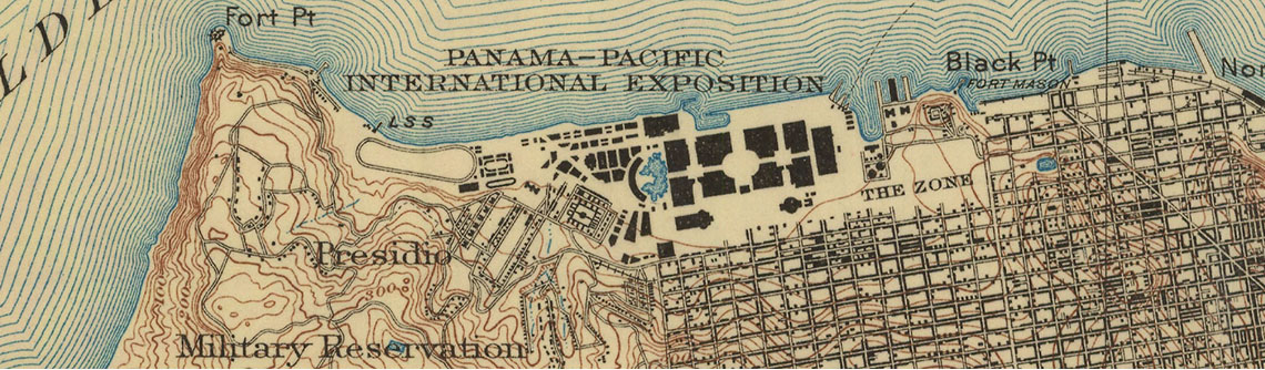
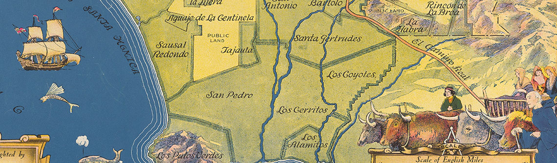
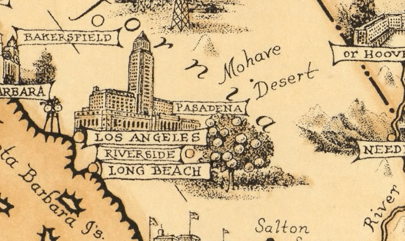
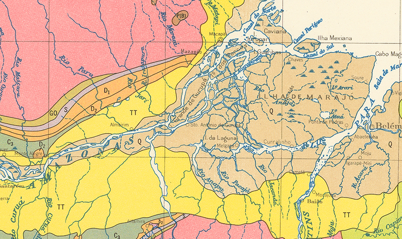
HISTORICAL & THEMATIC MAPS
Our historical/thematic map holdings are international in scope and represent all subjects, countries, and regions. Arrangement follows Library of Congress classification, by geographic area and subject matter. Some historical maps are searchable through OneSearch. To access our historical/thematic maps, please contact Map Collection staff for additional assistance. More About Historical Maps
HISTORICAL GAZETTEERS
Historical gazetteers contain official standardized names and lat-lon information of geographic locations as determined by the U.S. Board of Geographic Names. Our historical gazetteers holdings are searchable through OneSearch and can be found with the subject headings:
- Names, Geographical -- [Country]
- [Country] -- Gazetteers
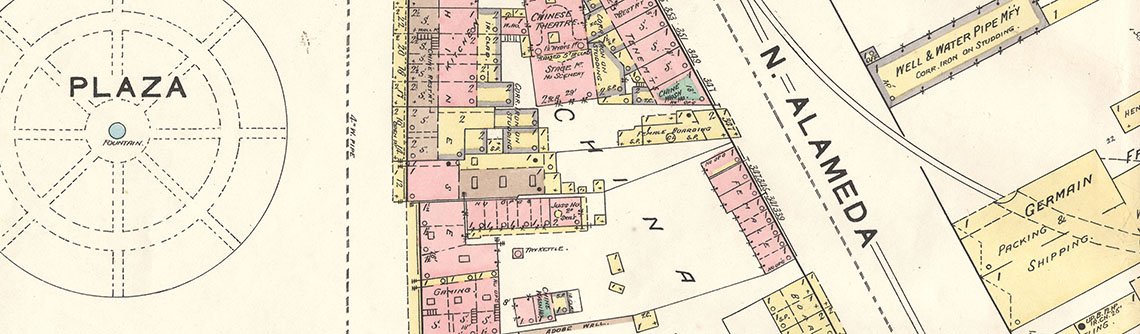
KNABENSHUE (G. A.) SURVEY MAP COLLECTION
An archival collection of building surveys and field notes produced by G. A. Knabenshue & Company. Surveys are from houses and properties throughout Los Angeles County.
LOS ANGELES COUNTY FLOOD INSURANCE RATE MAPS
A set of federal maps highlighting flood zones throughout Los Angeles County. The maps were produced by the Federal Emergency Management Agency (FEMA) as part of the National Flood Insurance Program and include incorporated and unincorporated areas of Los Angeles County. Maps portray parts of the county that feature creeks, channels, reservoirs, and other permanent or seasonal waterways. Online finding aid available through the OAC. More on Los Angeles County Flood Insurance rate maps
MARSCHNER AIR PHOTO COLLECTION
A set of aerial photo plates ranging from 1935 to 1953. Compiled by F.J. (Francis Joseph) Marschner, an agricultural economist and cartographer from the U.S. Department of Agriculture, the set of over 450 aerials highlight specific geographic land patterns, like plains, plateaus, valleys, rivers, basins, and prairies. The aerial photographs were used to create Marschner’s Major Land Uses in the United States map. More on the Marschner Air Photo Collection
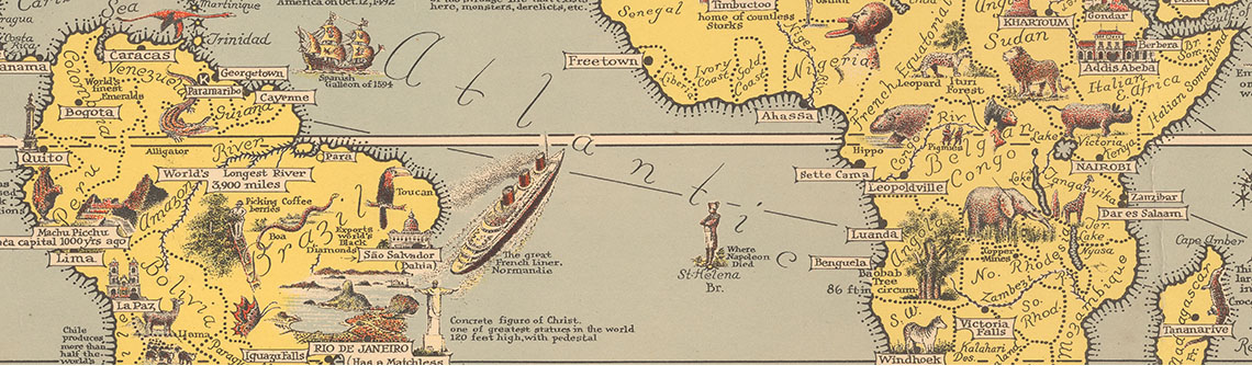
NATIONAL GEOGRAPHIC MAPS (1909-2000s)
Map Collection holdings include many of NatGeo's famous historical, cultural, thematic, and general reference pull-out maps from the 20th century. Most geographic regions are covered and holdings include many of NatGeo's "theater of war" maps from WWI and WWII.
PAMPHLET COLLECTION
A collection of rare 20th century pamplets, brochures, booklets, and other travel and tourism-related ephemera. Geographic coverage is international but emphasis is on materials related to locations in the United States. Subject areas focus mostly on "Description and travel" or "Guidebooks." Pamphlets are uncataloged and organized by geographic area. Please see Map Collection staff for access to this collection.
READING ROOM BOOKS & ATLASES
The Reading Room contains a scholarly collection of books, atlases, and reference materials emphasizing geography, geology, cartography, GIS, maps as subject, and Los Angeles history. Reading room materials are non-circulating and available for browsing only. More on Reading Room books and atlases
ROAD & TOURING MAPS (1937-2008)
A research collection of gas station-style road maps covering many parts of the United States. Some international coverage is included as well. Online finding aid available through the OAC. More About Road Maps
SOVIET MAPS OF FOREIGN COUNTRIES COLLECTION
A collection of more than 60 maps of various countries produced by the Soviet Union government during the height of the Cold War. The Soviet-era national maps portray agricultural, industrial, statistical, and climate data of countries in North America, South America, Europe, Africa, Asia, and Oceania. The emphasis of the collection is maps of countries in Europe and Africa. Online finding aid available through the OAC. More About This Collection
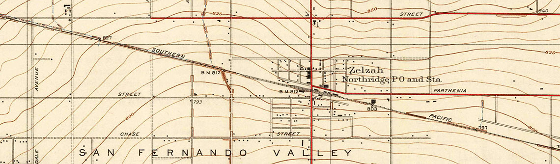
SPENCE AIR PHOTOS OF THE SAN FERNANO VALLEY (1921-41)
The Spence air photos are a set of oblique aerial photographs of the San Fernando Valley. The large-scale air photos portray unique historical views of the San Fernando Valley during its inter-war period. Details include old neighborhoods, rail lines, a pre-channelized LA River, and old industrial landscapes of the SFV.
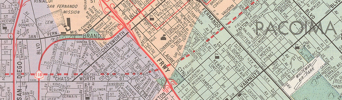
THOMAS GUIDE CITY STREET ATLAS COLLECTION (1953-2008)
More than 150 volumes of the famous "Thomas Guide" city street atlases. Holdings include Thomas Guides from major metropolitan areas of California, as well as metro areas in Arizona, Nevada, and Oregon. Map Collection holdings also include Renie, Moller street atlases.
TOM HARRISON HIKING MAPS
Set of popular, waterproof hiking and trail maps from the Tom Harrison Maps company. Maps are full-color, shaded-relief topographic maps ideal for backpacking, hiking, and mountain biking.
USGS GEOLOGIC ATLAS OF THE UNITED STATES
A set of 227 large-format folios published by the USGS between 1894 and 1945. Folios include geologic and topographic maps of the quad represented, as well as narrative description of the economic geology of the area. Map Collection has selected holdings. For additional information and access to these folios, please contact Map Collection staff.
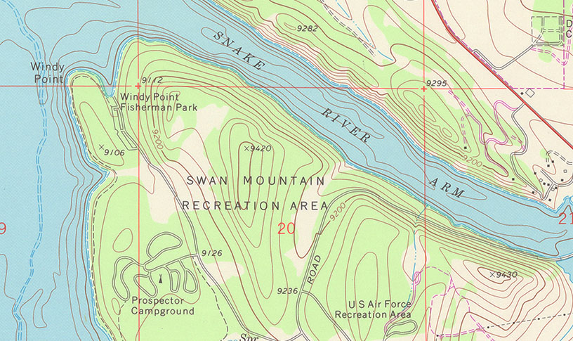
USGS TOPOGRAPHIC MAP COLLECTION
Extensive collection of USGS topo maps of the United States. Coverage includes several USGS mapping programs and series, including the main 7.5' topographic series. More on USGS Topographic maps
WHITEHURSE AIR PHOTOS OF THE SAN FERNANDO VALLEY (1955)
This set of large-scale, oblique aerial photographs cover the San Fernando Valley. Whitehurse photos show the physical and cultural landscape of the San Fernando Valley during its post-war development and suburban boom.
..