

Abstract
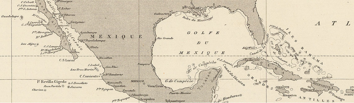
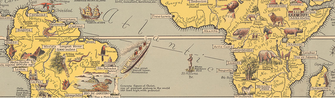
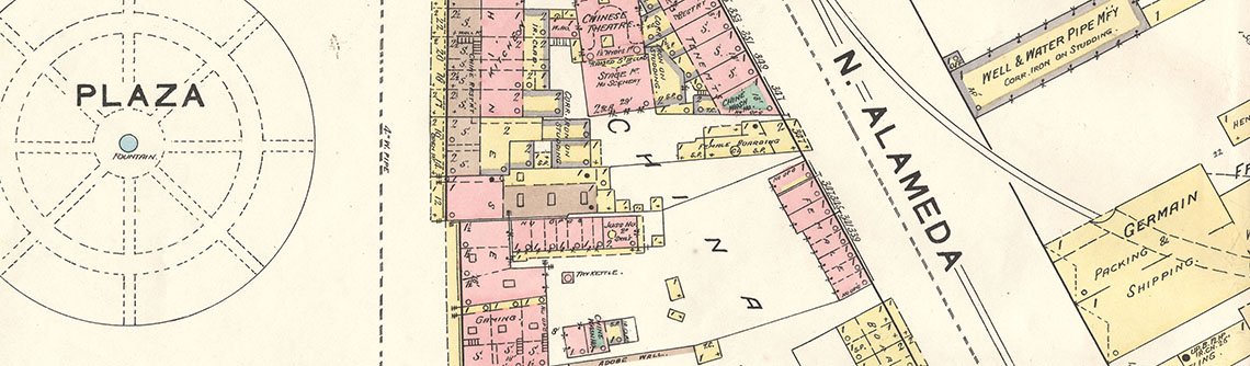
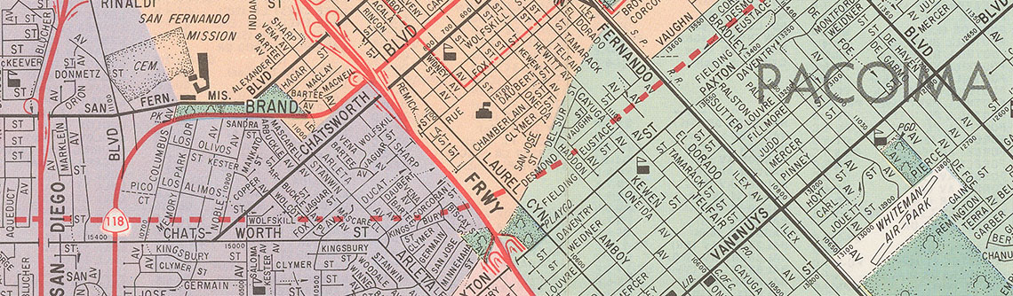
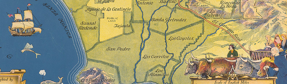
The Map Collection holds approximately 200,000 historical and thematic maps, including a wide variety of city and street maps, country maps, population and demographic maps, pictorial maps, tourist maps, transportation maps, and planning maps, among many others. The Map Collection's holdings are international in scope and range from the 1730s to 2019 (bulk 1920s to 1990s). Holdings include general and thematic maps of cities, regions, and countries of North America, Central America, South America, the Caribbean, Europe, Russia, Asia, Africa, and Oceania, as well as world, hemispheric, polar, lunar and planetary maps. Though international in scope, holdings emphasize Western Americana, with particular strengths in California, Los Angeles County, and the San Fernando Valley.
Core Collections
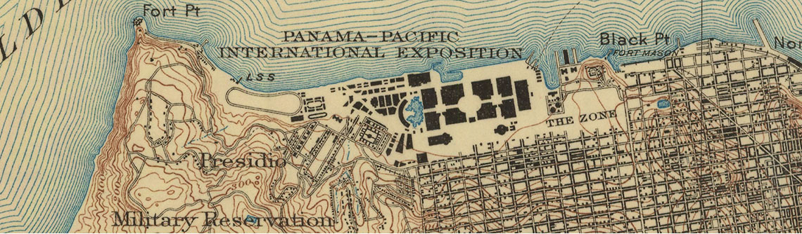
- City Maps (International & National)
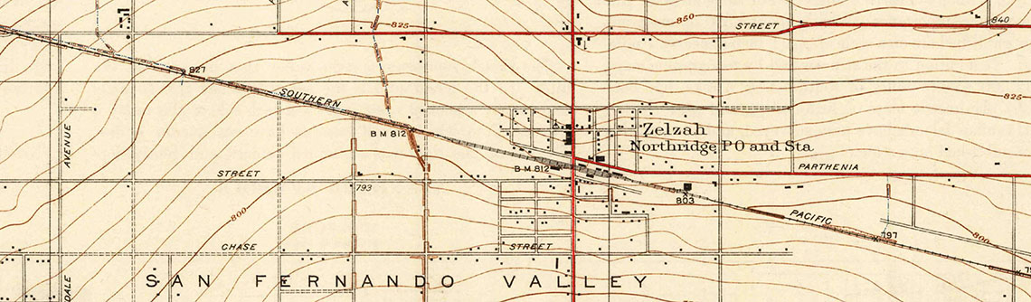
- Historical Street Maps of the San Fernando Valley
- Thomas Guide City Street Atlas Collection
- Planning & Zoning Maps of Los Angeles County
- Demographic, Population, & Census Tract Maps of Los Angeles County
- Transportation Maps (subway, railroad, bicycle, highway & freeway, bus, airline routes)
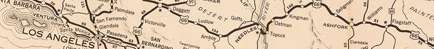
- Historical Automobile Road Maps (AAA, NAC, ACSC)