The Army Map Service (AMS)
History of the Army Map Service
The Army Map Service (AMS) was formed in 1942 by the consolidation of the Engineer Reproduction Plant with the Library and Cartographic Section of the War Department General Staff. The Engineer Reproduction Plant (ERP), a unit of lithographers and military personnel that grew out of the Corps of Engineers, was a small group largely devoted to "the intermittent mapping needs of a small peacetime army." The consolidation of the ERP with the Cartographic Section of the War Department General Staff put the AMS at the forefront of military mapping campaigns during WWII and the post-war years. During the war, the AMS mapped theaters of war in Europe and East Asia and provided strategic planning mapping in the post-war and cold war years. During World War II, "the Army Map Service operated 24 hours a day, 6 days a week... (U.S. Army Corps of Engineers. The Army Map Service: Its Mission, History and Organization, 1960)."
Name Changes
2003-present
Currently known as the National Geospatial-Intelligence Agency (NGA).
1996-2003
The National Imagery and Mapping Agency (NIMA).
1972-1996
The Defense Mapping Agency (DMA).
1968-1972
The U.S. Army Topographic Command (USATC).
1942-1968
The Army Map Service (AMS).
Our AMS Holdings
During WWII, AMS maps (1941-1945) included numerous military topograhic mapping programs from European and East Asian theaters of war. The AMS also recovered field-captured maps during WWII, and our holdings include many examples of German military field-captured WWII maps.
After WWII, AMS focused mostly on strategic planning and mapping of other countries and regions of the world at various small- and medium-scales. During the 1970s-1990s, the Defense Mapping Agency (DMA)--successor to the AMS--began mapping portions of the United States and territories at a scale of either 1:25,000 and 1:50,000. See DMA holdings index here.
| AMS SERIES | REGION/COUNTRY | GSGS SERIES | SCALE(S) | DATE(S) |
|---|---|---|---|---|
| 1101 | World Outline Maps | 1:11,000,000 | Various | |
| 1102 | World Planning Map | 1:6,336,000 | Various | |
| 1103 | World Outline Maps | 1:19,000,000 | Various | |
| 1105 | World Outline Maps | 1:5,000,000 | ||
| 1106 | The World | 1:5,000,000 | Various | |
| 1125 | World | 1:20,000,000 | Various | |
| 1127 | Eurasia | 1:4,347,000 | ||
| 1130 | Western Hemisphere | 1:4,278,000 | ||
| 1130 | Western Hemisphere | 1:4,973,000 | ||
| 1130 | Western Hemisphere | 1:4.415,000 | ||
| 1130 | Western Hemisphere | 1:5,000,000 | ||
| 1202 | Eurasia | GSGS 2957 | 1:4,000,000 | 1957 |
| 1204 | World Outline Maps | 1:10,000,000 | 1953 | |
| 1204 | World Outline Maps | 1:20,000,000 | 1961 | |
| 1204 | World Outline Maps | 1:5,000,000 | 1957 | |
| 1301 | World | GSGS 2555 | 1:1,000,000 | Various |
| 1304W | World Road Maps, 2nd ed. | 1:1,000,000 | 1973 | |
| 1308 | Middle East Briefing Map, 2nd ed. | 1:5,000,000 | 1973 | |
| 1404 | World | GSGS 4830 | 1:500,000 | Various |
| 2201 | Africa | GSGS 2871 | 1:2,000,000 | Various |
| 5301 | Eastern Asia | 1:1,000,000 | 1944-1945 | |
| 6203 | Europe | GSGS 4464 | 1:2,000,000 | 1954 |
| 8301 | United States | 1:1,000,000 | 1947 | |
| 9301 | Australia | 1:1,000,000 | ||
| 9306 | East Indies (Indonesia) | GSGS 4204 | 1:1,000,000 | |
| A401 | New Foundland | 1:500,000 | 1943 | |
| A681 | New Foundland | 1:125,000 | 1942 | |
| C461 | Iceland | 1:500,000 | ||
| C561 | Iceland | 1:250,000 | ||
| C562 | Iceland | 1:250,000 | ||
| C661 | Iceland | 1:100,000 | ||
| C761 | Iceland, Western | GSGS 4138 | 1:50,000 | |
| E401 | Northern South America | 1:500,000 | ||
| G503 | West Africa | 1:250,000 | 1942-1943 | |
| G504 | West Africa | 1:250,000 | 1955 | |
| GSGS 2364 | France | GSGS 2364 | 1:250,00 | |
| GSGS 2364 | France | GSGS 2364 | 1:100,000 | |
| GSGS 2447 | Nigeria | GSGS 2447 | 1:500,000 | |
| GSGS 2758 | Europe | GSGS 2758 | 1:1,000,000 | 1943 |
| GSGS 3772 | Singapore | GSGS 3772 | 1:25,000 | |
| GSGS 3789 | Eastern China | GSGS 3789 | 1:50,000 | |
| GSGS 3906 | Ireland GSGS Survey | GSGS 3906 | 1:25,000 | |
| GSGS 3915 | Botswana | GSGS 3915 | 1:500,000 | |
| GSGS 4078-9 | Israel | GSGS 4078-9 | 1:100,000 | |
| GSGS 4087 | Balkan Peninsula | GSGS 4087 | 1:100,000 | |
| GSGS 4134 | Spain | GSGS 4134 | 1:100,000 | |
| GSGS 4142 | Ireland Ordnance Survey | GSGS 4142 | 1:253,440 | 1942 |
| GSGS 4149 | West Africa | GSGS 4149 | 1: 200,000 | |
| GSGS 4183 | Netherlands | GSGS 4183 | 1:300,000 | |
| GSGS 4201 | Java and Madura | GSGS 4201 | 1:2,500,000 | |
| GSGS 4210 | Denmark | GSGS 4210 | 1:100,000 | |
| GSGS 4218 | China | GSGS 4218 | 1:253,440 | |
| GSGS 4222 | China | GSGS 4222 | 1:500,000 | |
| GSGS 4228 | Italy | GSGS 4228 | 1:25,000 | |
| GSGS 4229 | Italy | GSGS 4229 | 1:50,000 | |
| GSGS 4234 | France | GSGS 4234 | 1:5,000 | |
| GSGS 4235 | Turkey | GSGS 4235 | 1:800,000 | |
| GSGS 4340 | Far East | GSGS 4340 | 1:2,000,000 | |
| GSGS 4347 | France | GSGS 4347 | 1:25,000 | |
| GSGS 4411 | France | GSGS 4411 | 1:25,000 | 1943 |
| GSGS 4423 | Norway | GSGS 4423 | 1:25,000 | |
| GSGS 4525 | Germany | GSGS 4525 | 1:12,500 | |
| GSGS 4528 | Austria | GSGS 4528 | 1:25,000 | |
| GSGS 4627 | England Ordnance Survey of Great Britain | GSGS 4627 | 1:25,000 | |
| GSGS 4670 | Thailand | GSGS 4670 | 1:63,360 | |
| GSGS 4715 | World | GSGS 4715 | 1:500,000 | |
| GSGS 4763 | Nigeria | GSGS 4763 | 1:500,000 | |
| GSGS 4797 | Singapore | GSGS 4797 | 1:25,000 | |
| GSGS 4892 | Egypt | GSGS 4892 | 1:100,000 | |
| H401 | Eastern South Asia | 1:500,000 | ||
| J401 | Western South America | 1:500,000 | ||
| K501 | Iran and Iraq | GSGS 3919 | 1:253,000 | |
| K502 | Southwestern Asia | 1:250,000 | ||
| K511 | Turkey | GSGS 4193 | 1:200,000 | |
| K631 | Palestine | GSGS 4078-9 | 1:100,000 | 1942 |
| K722 | Lebanon | GSGS 8061 | 1:50,000 | |
| L500 | China | 1:250,000 | ||
| L503 | Japan Road Maps | 1:250,000 | 1945 | |
| L506 | Japan | 1:250,000 | ||
| L508 | Thailand | 1:253,440 and 1: 250,000 | 1945-1954 | |
| L509 | Southeast Asia | 1:250,000 | ||
| L522 | Mongolia | 1:250,000 | ||
| L531 | China Proper, NE | 1:250,000 | ||
| L532 | China Proper, NW | 1:250,000 | ||
| L541 | Manchuria | 1:250,000 | ||
| L542 | Manchuria | 1:250,000 | ||
| L551 | Korea | 1:250,000 | ||
| L552 | Korea | 1:250,000 | 1950 | |
| L561 | Northern Japan | 1:250,000 | ||
| L571 | Central Japan | 1:250,000 | ||
| L581 | China, SE | 1:250,000 | ||
| L582 | China, SW | 1:250,000 | ||
| L591 | Southern Japan | 1:250,000 | ||
| L593 | Formosa (Taiwan) | 1:250,000 | ||
| L594 | Taiwan | 1:250,000 | ||
| L705 | Malaysia | GSGS 4203 | 1:63,360 | |
| L751 | Korea | 1:50,000 | ||
| L763 | Chishima-Retto (Kuril Island) | 1:50,000 | ||
| L764 | Hokkaido (Japan) | 1:50,000 | 1944 | |
| L772 | Kyushu (Japan) | 1:50,000 | 1945-54 | |
| L773 | Northern Honshu (Japan) | 1:50,000 | 1944 | |
| L774 | Central Honshu (Japan) | 1:50,000 | 1944 | |
| L775 | Southern Honshu | 1:50,000 | 1944-55 | |
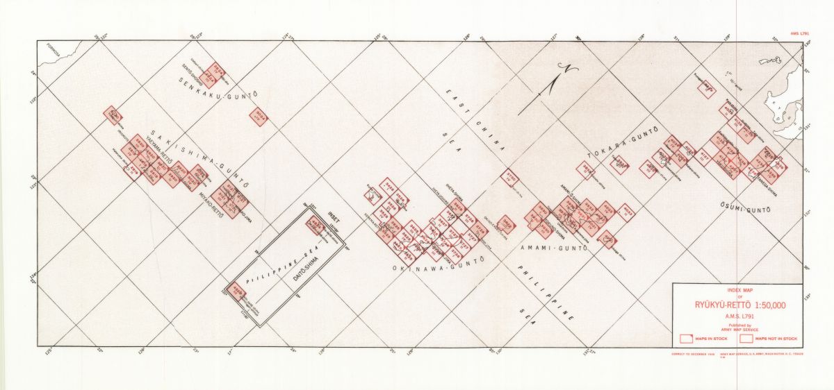
| L791 | Ryukyu-Retto (Japan) | 1:50,000 | 1943 | |
| L792 | Formosa (Taiwan) | 1:50,000 | ||
| L911 | Taiwan - Formosa City Plans (Series) | Various | Various | |
| L902 | Japan | 1:12,500 | ||
| L951 | Korea City Plans (Series) | Various | Various | |
| L991 | Taiwan - Formosa City Plans (Series) | Various | Various | |
| L991 | Taiwan.Formosa | Various | ||
| M651 | Poland | GSGS 4416 | 1:100,000 | |
| M673 | Austria | 1:75,000 | ||
| M368 | Western Europe | GSGS 4041 | 1:25,000 | 1944 |
| M404 | Europe (Air) | GSGS 4072 | 1:500,000 | |
| M501 | Western Europe | 1:250,000 | 1946 | |
| M505 | Europe Road Maps | GSGS 4238 | 1:200,000 | |
| M506 | Balkan Peninsula | GSGS (4375, 4410, 4412, 4413) | 1:250,000 | |
| M508 | Central Europe | GSGS 4346 | 1:250,000 | |
| M513 | Finland | GSGS 4093 | 1:200,000 | |
| M514 | Denmark | GSGS 4479 | 1:250,000 | |
| M515 | Northen Europe | 1:250,000 | ||
| M561 | France | GSGS 2738 | 1:250,000 | 1942-49 |
| M562 | France | 1:250,000 | 1955-58 | |
| M581 | Iberian Peninsula | 1:250,000 | ||
| M591 | Corsica | 1:200,000 | ||
| M592 | Italy | 1:200,000 | ||
| M601 | Yugoslavia | GSGS 4396 | 1:100,000 | |
| M603 | Belgium and Northeast France | GSGS 4336 | 1:100,000 | 1943 |
| M610 | Norway | GSGS 4090 | 1:100,000 | |
| M631 | Holland | GSGS 2541 | 1:100,000 | Various |
| M641 | Germany | GSGS 4416 | 1:100,000 | |
| M651 | Poland | GSGS 4416 | 1:100,000 | |
| M661 | France | GSGS 4249 | 1;100,000 | 1942-44 |
| M671 | Central Europe | 1:100,000 | ||
| M691 | Italy | GSGS 4164 | 1:100,000 | |
| M703 | Western Europe | GSGS 4040 | 1:50,000 | 1946 |
| M704 | Cyprus | GSGS 4242 | 1:50,000 | |
| M762 | France | GSGS 4250 | 1:50,000 | 1943 |
| M763 | Corsica | GSGS 4398 | 1:50,000 | |
| M780 | Portugal | GSGS 4145 | 1:50,000 | |
| M781 | Spain | GSGS 4144 | 1:50,000 | |
| M782 | Spain | GSGS 4144 | 1:50,000 | |
| M783 | Spain | GSGS 4144 | 1:50,000 | |
| M784 | Spain | GSGS 4144 | 1:50,000 | |
| M785 | Spain | GSGS 4144 | 1:50,000 | |
| M786 | Spain | GSGS 4144 | 1:50,000 | |
| M787 | Spain | GSGS 4144 | 1:50,000 | |
| M788 | Balearic Islands | 1:50,000 | ||
| M841 | Germany (Greater) | GSGS 4414 | 1:25,000 | |
| M963 | Corsica City Plans | GSGS 4381 | Various | |
| N501 | Eastern Europe | 1:250,000 | 1953 | |
| N502 | Western Siberia | 1:250,000 | ||
| N503 | Central Siberia | 1:250,000 | ||
| N504 | Eastern Siberia | 1:250,000 | ||
| N571 | Western Siberia | GSGS 3919 | 1:253,440 | |
| O471, Y471 | Madagascar | GSGS 4243 | 1:500,000 | 1942 |
| P401 | French North Africa | GSGS 4175 | 1:500,000 | 1941 |
| P404 | Africa (Air) | GSGS 4072A | 1:500,000 | 1943 |
| P410 | Canary Islands | GSGS 4121 | 1:400,000 | |
| P461 | Libya | GSGS 4231 | 1:500,000 | |
| P472 | Egypt | GSGS 4084 | 1:500,000 | |
| P502 | North Africa | 1:250,000 | ||
| P531 | Morocco | GSGS 4173 | 1:200,000 | 1941 |
| P541 | Algeria | GSGS 4180 | 1:200,000 | |
| P551 | Tunisia | GSGS 4227 | 1:200,000 | 1942 |
| P632 | Southern Morocco | 1:125,000 | 1943 | |
| P651 | Tunisia | GSGS 4226 | 1:100,000 | 1942 |
| P661 | Tripoli | GSGS 3980 | 1:100,000 | |
| P662 | Cyrenaica | GSGS 4076 | 1:100,000 | |
| P671 | Egypt | GSGS 4085 | 1:100,000 | 1942 |
| P732 | Morocco | GSGS 4233 | 1:50,000 | 1943 |
| P741 | Algeria | GSGS 4232 | 1:50,000 | |
| P751 | Tunisia | GSGS 4225 | 1:50,000 | 1942 |
| P911 | Canary Islands City Plans | GSGS 4333 | Various | |
| S401 | Philippine Islands | GSGS 4588 | 1:500,000 | 1944- |
| S501 | Philippines | 1,250,000 | ||
| S651 | Mindanao | 1:100,000 | 1944 | |
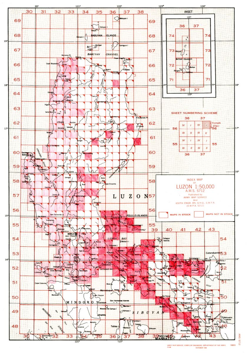
| S712 | Luzon (Philippines) | 1:50,000 | 1944 | |
| S741 | Sulu Archipelago (Philippines) | 1:50,000 | 1944 | |
| S751 | Mindanao | 1:50,000 | 1944 | |
| S821 | Palawan Islands | 1:25,000 | 1944 | |
| S831 | Central Philippines | 1:25,000 | 1944 | |
| S851 | Mindanao | 1:25,000 | 1944 | |
| S901 | Philippines | 1:25,000 | ||
| T401 | New Guinea | 1:500,000 | 1942 | |
| T503 | East Indies | 1:250,000 | 1954 | |
| T504 | New Guinea | 1:250,000 | 1964 | |
| T511 | Sumatra | GSGS 4550 | 1:250,000 | 1948 |
| T521 | Java, Madura, Bali | 1:250,000 | 1945 | |
| T531 | Borneo | 1:200,000 | 1944 | |
| T532 | Borneo | 1:250,000 | 1945 | |
| T541 | Celebes | 1:200,000 | 1942 | |
| T551 | Lesser Sunda Islands | 1:250,000 | 1943 | |
| T552 | Mesala Islands | 1:200,000 | ||
| T631 | Southeastern Borneo | 1:100,000 | 1943 | |
| T662 | Molukken Islands | 1:100,000 | 1942 | |
| T663 | Islands of Ambon and Ceram | 1:100,000 | ||
| T722 | Java and Madura | GSGS 4202 | 1:50,000 | |
| T723 | Christmas Island (Indian Ocean) | GSGS 4287 | 1:48,730 | |
| T731 | Dutch Borneo (Northern Half) | 1:50,000 | 1945 | |
| T731 | Dutch Borneo(Southern Half) | 1:50,000 | 1943 | |
| T732 | Western Borneo | 1:50,000 | ||
| T761 | Amboina Archipelago | 1:50,000 | 1943 | |
| U501 | India | GSGS 3919, 4218 | 1:253,440 | |
| U502 | India & Pakistan | 1:250,000 | ||
| U511 | Afghanistan | GSGS 3919 | 1:253,440 | |
| U542 | Burma (Myanmar) | 1:250,000 | 1955 | |
| V402 | United States Strategic Maps | 1:500,000 | 1964 | |
| V601 | Western United States | 1:100,000 | Various | |
| W511 | South Japanese Islands | 1:250,000 | ||
| W541 | Marianas Islands | 1:250,000 | 1944 | |
| W543 | Marianas Islands | 1:250,000 | 1957 | |
| W711 | Ogawawara-Gunto [Bonin Islands] | 1:50,000 | 1945 | |
| W741 | Marianas Islands | 1:50,000 | 1942 | |
| W742 | Guam | 1:62,500 | 1944 | |
| W752 | Palau Islands | 1:40,000 | 1943 | |
| W851 | Truk Islands | 1:20,000 | 1943 | |
| W853 | Palau Islands | 1:25,000 | 1946 | |
| W854 | Palau Islands | 1:12,500 | 1946 | |
| W861 | Marshall Islands | 1:25,000 | 1945 | |
| X321 | New Hebrides | GSGS 4298 | 1:1,000,000 | 1944 |
| X401 | Melanesia | 1:500,000 | 1944-59 | |
| X402 | New Caledonia | 1:400,000 | ||
| X511 | Buka and Bougainville (Solomon Islands) | GSGS 4344 | 1:250,000 | |
| X551 | Fiji Islands | 1:250,000 | 1959 | |
| X611 | Solomon Islands | 1:126,000 | 1943 | |
| X621 | New Hebrides Islands | 1:125,000 | ||
| X631 | New Caledonia | 1:116,000 | 1943 | |
| X660 | Samoa Islands | GSGS 4300 | 1:2,000,000 | |
| X660 | Western Samoa Islands | GSGS 4299 | 1:100,000 | |
| X751 | Viti Levu Island (Fiji) | 1:62,500 | ||
| X752 | Yasawa Group (Fiji) | 1:63,300 | ||
| X771 | Cook Islands | 1:50,000 | 1942 | |
| X772 | Tongareva | 1:50,000 | ||
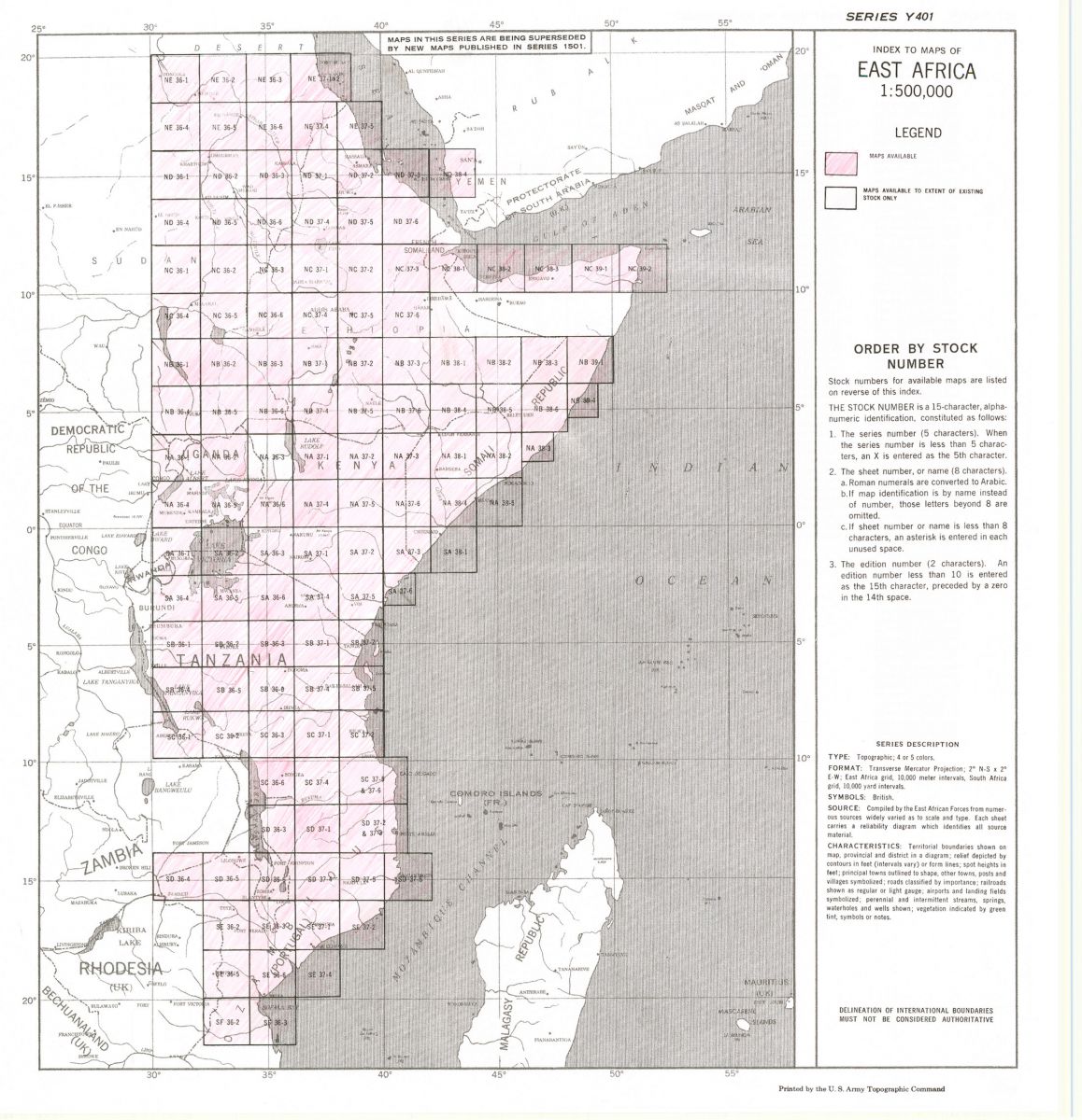
| Y401 | East Africa / Northern Rhodesia | 1:500,000 | 1948 | |
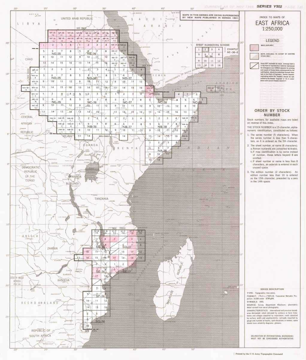
| Y502 | East Africa | 1:250,000 | 1954-55 | |
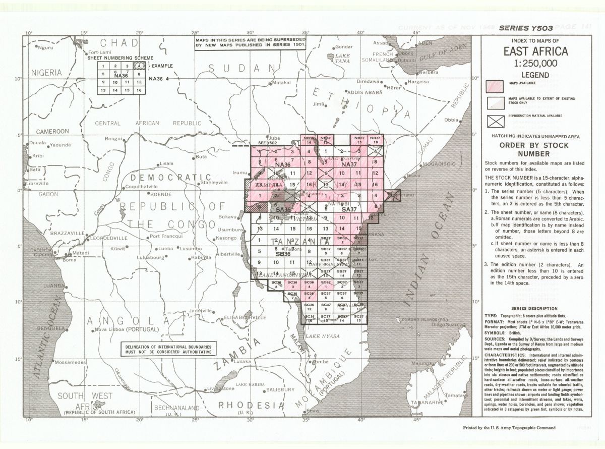
| Y503 | East Africa | 1:250,000 | 1959 | |
| Y633 | Kenya | 1:100,000 | ||
| Y732 | Uganda | 1:50,000 | ||
| Y742 | Tanzania | 1:50,000 | ||
| Z501 | South Africa | 1:250,000 | ||
| Z521 | Katanga Province | 1:200,000 | 1943 | |
| Z523 | Democratic Republic of the Congo | 1:250,000 | 1960-64 | |
| Z621 | Ruanda-Urandi | 1:100,000 | 1942 |